- On the Tasks tab of the toolbar, click Print Map.
In the I Want To menu, click Create a Printable Map.
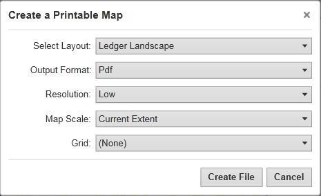
The Create a Printable Map dialog opens.

Options for printing the map in the Create a Printable Map dialog box
- Select Layout: Options include Ledger Landscape (A wide format) or Landscape.
- Output Format: Options include the Pdf, Png, Jpeg, Gif, Bmp, or Tiff formats.
- Resolution: Options include Low, Medium, or High resolution.
- Map Scale: Options include the Current Extent, the Current Scale, or several specific numeric options.
- Grid: Optionally allows you to print a grid with coordinates on the map. This setting does not appear in the dialog box if there are no grids available.
Click Create File.
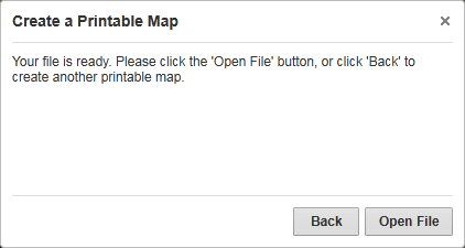
When your print file is ready, a confirmation message displays.

"Your file is ready" confirmation message
Click Open File.
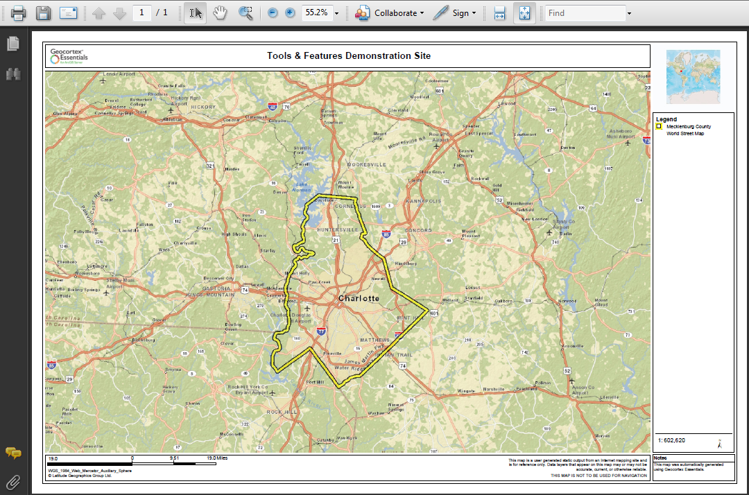
Depending on your choice of file format, the file opens in your PDF Reader or in your Browser window.

PDF print file open in Adobe Reader
- In Adobe Reader, click the Print icon, and then click OK.
- In your browser, click File | Print, and then click OK.
- In a browser with no File menu, right-click the title bar, select Print from the title bar, and then click the Print button.