- In the Tasks tab of the toolbar, click Export Map.
Right-click on the map image and from the context menu, select Export a Map Image.
The Export a Map Image dialog box opens.
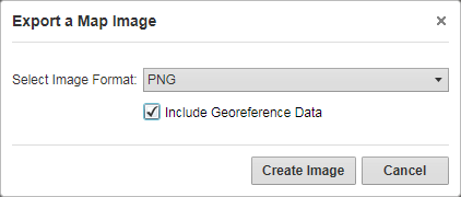
Export a Map Image dialog box
Click Create Image.
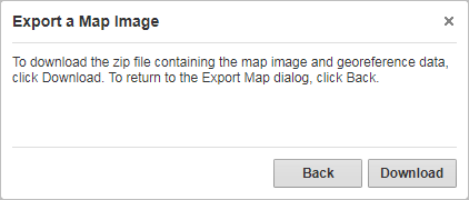
If you selected Include Georeference Data, the following confirmation message displays:
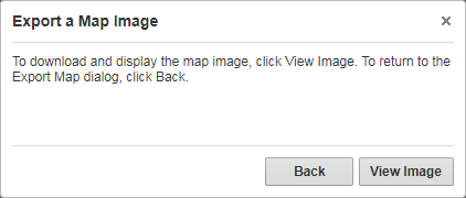
If you did not select the Include Georeference Data, the following confirmation message displays:
- Click Download and when the Save As dialog opens, navigate to where you want to save the zip file, and click Save.
Click View Image to open the image in your browser.
The map image opens. The map image is taken at the extent your map was at the time you exported it. If your map contained markup, it is included in the image.
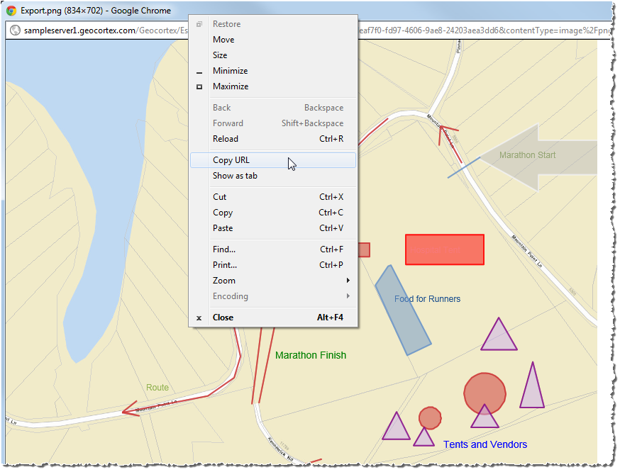
- Copy the image and paste it into an email.
- Copy the URL.
- Print the image by right-clicking on the title bar or using the File menu.